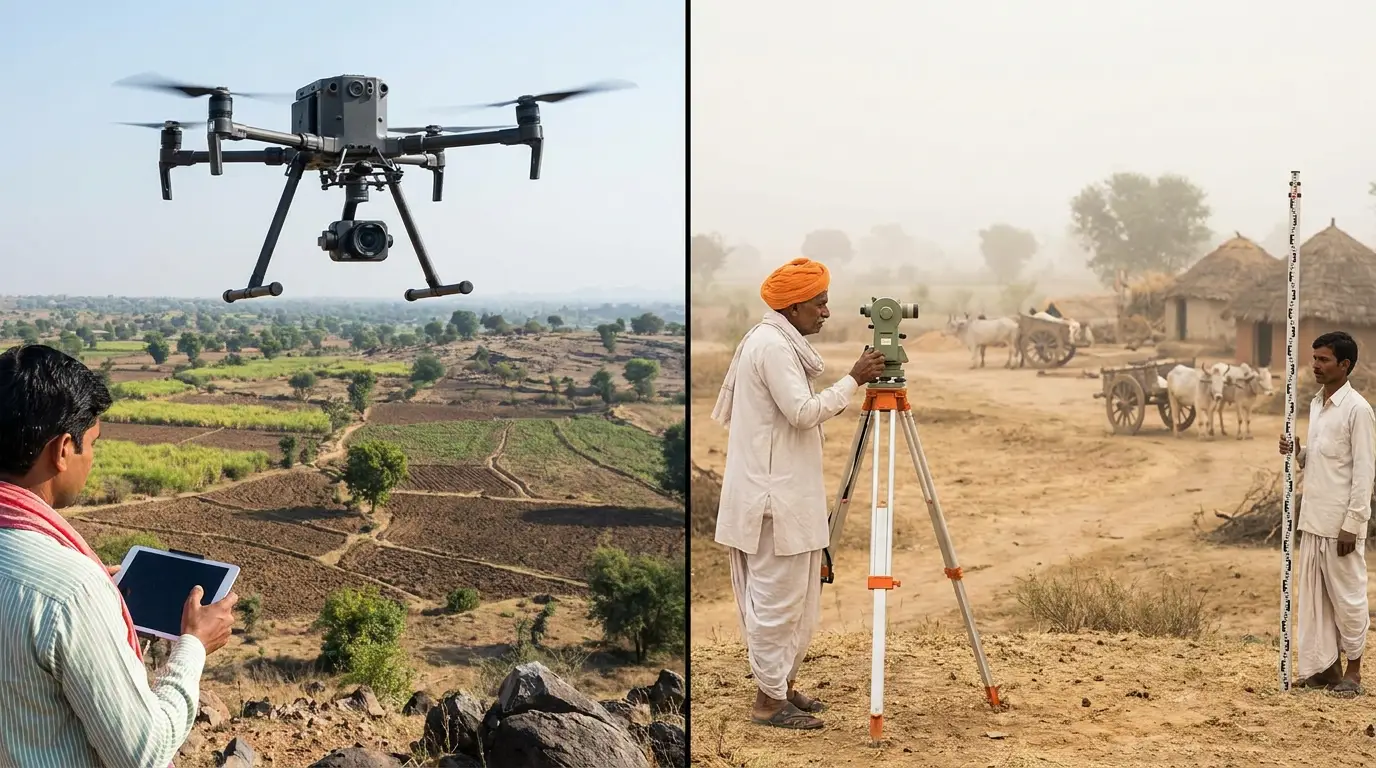
Drone Land Survey vs Traditional Survey in India: Accuracy, Cost & Use Cases
Land surveying underpins every infrastructure, real-estate, mining, and renewable-energy project in India. For decades it meant total stations, DGPS rovers, and weeks of fieldwork. Today, drone-based land survey delivers the same survey-grade accuracy in a fraction of the time — and with far richer data. But is it always the right choice? This guide compares the two approaches honestly so you can decide.
Looking for a provider? AiRotor Labs offers drone land survey and mapping services across India — photogrammetry and LiDAR with RTK/PPK accuracy, from ₹800 per acre.
How Each Method Works
Traditional survey uses ground instruments — total stations and DGPS — where a surveyor physically occupies points across the site to record coordinates. Accuracy is excellent at each measured point, but coverage is sparse and slow.
Drone survey (photogrammetry / LiDAR) flies a pre-planned grid capturing hundreds of overlapping images (or LiDAR returns). With Ground Control Points (GCPs) or RTK/PPK positioning, these are processed into dense, georeferenced 3D data covering every square metre.
Accuracy: The Honest Comparison
A common myth is that drones are less accurate. In practice, a properly executed drone survey with GCPs or RTK achieves 1–3 cm horizontal and 3–5 cm vertical accuracy — survey-grade for the vast majority of applications.
- Traditional wins for a small number of highly precise discrete points (e.g. cadastral corner pegs).
- Drone wins for full-surface coverage — you get accurate data everywhere, not just at measured points.
Speed & Cost
| Factor | Traditional Survey | Drone Survey |
|---|---|---|
| 100-acre site | Several days–weeks | A few hours of flight |
| Data density | Sparse points | Millions of points |
| Crew size | Larger | Smaller |
| Cost at scale | Higher | Lower |
| Safety on hazardous terrain | Risky | Safe (no ground access) |
For medium-to-large sites, drone survey is typically faster and cheaper, and the gap widens as area grows.
Deliverables You Get From a Drone Survey
- Orthomosaic — a high-resolution, georeferenced map of the entire site
- Digital Terrain Model (DTM) and Digital Surface Model (DSM)
- Contour maps at your required interval
- Volumetric calculations (stockpiles, cut-and-fill)
- 3D point clouds and mesh models
These outputs are difficult or impossible to produce economically with traditional methods.
When to Use Each
Choose drone survey for: topographical mapping, large sites, volumetric/stockpile measurement, solar and infrastructure planning, progress monitoring, and hazardous or inaccessible terrain.
Choose traditional survey for: legal cadastral demarcation requiring physical point monumentation, very small plots, or dense-canopy areas where photogrammetry struggles (LiDAR drones address this).
Often the best answer is both — drones for full-surface mapping, ground instruments for a handful of precise control points.
Why AiRotor Labs
AiRotor Labs provides drone-based land survey and topographical mapping across India, delivering survey-grade orthomosaics, DTM/DSM, contours, and volumetrics with full accuracy reporting. Our workflow integrates GCP/RTK control for dependable, audit-ready results.
Have a site to map? Book a consultation and we'll recommend the right survey approach.
If you are scoping a project, see our drone land survey services for deliverables, accuracy and pricing.
AiRotor Labs provides drone-based inspection, aerial survey, and land survey across India.
Book a consultation →